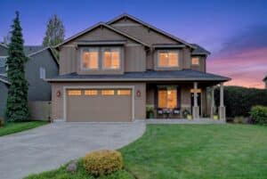
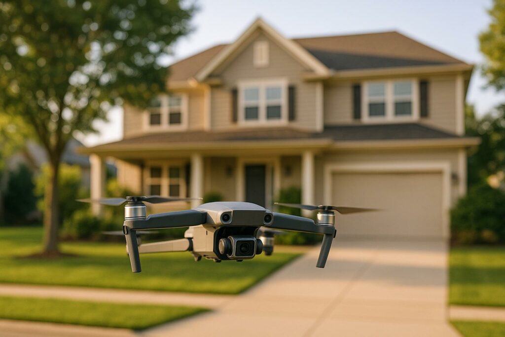
Drone videography has transformed real estate marketing by offering aerial views that traditional methods can’t achieve. However, it comes with privacy challenges that real estate professionals must navigate carefully. Here’s what you need to know:
- Why Privacy Matters: Filming without consent can lead to lawsuits, fines, and loss of trust. Data security is also critical to avoid breaches.
- Laws to Follow: Federal FAA rules focus on airspace safety, while state laws address privacy. Some states, like California and Texas, have strict regulations against recording individuals or private property without consent.
- Common Issues: Accidental filming of neighboring properties or individuals can result in legal problems. Conflicting federal, state, and local laws make compliance complicated.
- How to Stay Compliant:
- Get written consent from property owners and neighbors.
- Plan flight paths to avoid private spaces.
- Use tools like geofencing and FAA apps to ensure legal operations.
- Edit footage to remove unintended captures.
Key Takeaway: Balancing drone technology with privacy laws is essential for legal and ethical real estate marketing. Respecting boundaries and following regulations protects both your reputation and your clients’ trust.
Do Drone Privacy Laws Prevent Me from Filming in Public Places?
Privacy Laws That Apply to Drone Videography
In the U.S., drone privacy laws operate at federal, state, and local levels. Federal rules primarily address airspace safety, while state laws focus on privacy concerns. This creates a complex legal landscape that drone operators must navigate. Let’s break it down, starting with federal regulations.
Federal Aviation Administration (FAA) Rules
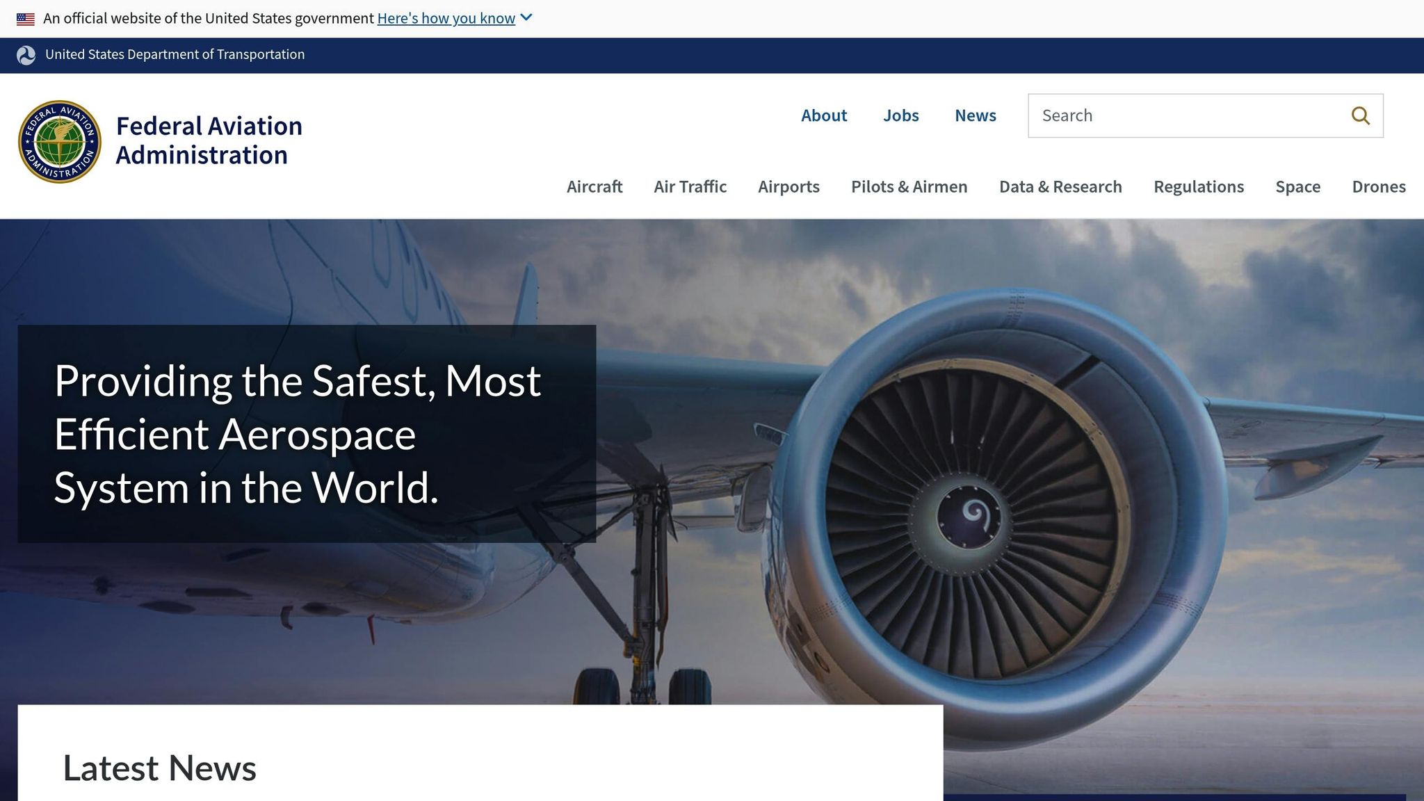
The FAA’s Part 107 rules, introduced in 2016, govern drone operations in the National Airspace System. However, these rules don’t address privacy issues. If you’re a commercial drone operator – say, shooting real estate listings – you’ll need a remote pilot license to operate legally.
Another important federal guideline is the Remote ID requirement. Starting March 16, 2024, all commercial drones must broadcast identification and location data while in flight. This ensures transparency in drone operations and helps authorities monitor airspace activity.
Additionally, the National Telecommunications and Information Administration (NTIA) has issued Voluntary Best Practices for UAS Privacy, Transparency, and Accountability. While not mandatory, these guidelines are designed to encourage responsible drone use.
State Privacy Laws
Unlike federal regulations, state laws often tackle privacy concerns directly. These laws vary widely, addressing issues like surveillance, law enforcement usage, and restrictions near sensitive locations such as schools, prisons, or critical infrastructure .
Here’s how some states handle drone privacy:
| State | Privacy Focus | Key Restrictions |
|---|---|---|
| California | Strong privacy protections | Recording individuals without consent is prohibited |
| Texas | Strict surveillance laws | Bans photography of private property without permission |
| Florida | Broad privacy restrictions | Limits both surveillance and law enforcement usage |
| Arkansas | Property-focused | Prohibits drone surveillance of private property |
Since 2014, many states have passed laws targeting unauthorized aerial surveillance. For instance, thirteen states enacted rules to curb unwanted drone-based surveillance of private properties by that year.
Some states have taken a more tailored approach. Tennessee, for example, passed two laws in 2014: one banning drone surveillance of individuals hunting or fishing, and another outlawing the use of drones to capture images of private property with the intent to conduct surveillance. Similarly, Wisconsin’s law makes it a misdemeanor to use drones for photographing or observing individuals in places where they have a reasonable expectation of privacy.
What Counts as Private Space
Understanding the concept of private space is crucial for staying within the bounds of state-specific laws. For real estate professionals, this means knowing where privacy protections apply to avoid legal pitfalls.
Indoor spaces like homes, offices, and private buildings have the strongest privacy protections. Outdoor areas, such as backyards, private pools, or fenced properties, are generally considered private if they’re shielded from public view.
Public spaces, on the other hand, usually offer less privacy. However, some states still require consent before recording individuals, even in public areas. This means drone operators must tread carefully, as aerial footage can unintentionally capture neighboring private properties.
Height and distance also affect privacy considerations. For example, flying legally in controlled airspace doesn’t grant the right to use drones to peer over fences or into windows. Such actions could still violate privacy expectations, even if the drone is operated within legal limits.
Common Privacy Problems in Real Estate Drone Work
Real estate drone operations often run into privacy issues that can quickly spiral into legal trouble.
Recording Nearby Properties by Accident
One common problem is "trespass-by-drone", where wide-angle cameras unintentionally capture footage of neighboring properties and people without their consent. These cameras, designed to cover large areas, often record more than intended. This can lead to legal risks, especially when private activities or multiple properties are included in the footage without permission. Even when unintentional, such recordings can raise significant privacy concerns.
Recording Individuals Without Consent
Filming people without their consent is another major issue, particularly in places where they expect privacy, like backyards or other secluded outdoor areas. In many states, this kind of recording can result in trespassing charges or lawsuits for invasion of privacy. The penalties can range from misdemeanor charges to fines and even compensatory damages.
The legal complexities surrounding this issue are illustrated in cases like National Press Photographers Association v. McCraw. In this case, a journalist drone operator and media groups challenged the Texas Privacy Act. While they initially succeeded in halting its enforcement, the Fifth Circuit later overturned the ruling. This legal uncertainty highlights the need for drone operators to be extra cautious when filming in areas where people might appear in the footage. The overlapping legal frameworks governing drones only add to the difficulty.
Dealing with Conflicting Laws
Navigating the maze of federal, state, and local laws makes drone operations even more challenging. The FAA regulates airspace safety through Part 107, but state and local governments enforce privacy, trespass, and nuisance laws, which often conflict with federal rules . Since 2013, 44 states have enacted their own drone-related laws, each addressing privacy differently and sometimes encroaching on federal jurisdiction. Local authorities also struggle with unclear boundaries regarding their authority over drones in national airspace. For operators, this creates a confusing patchwork of rules to follow.
Adding to the complexity, recent security concerns have led to stricter local regulations. For instance, on February 25, 2025, Connecticut barred state agencies and municipalities from purchasing drones made in China or Russia. With these evolving restrictions, seeking legal guidance is essential for drone operators to stay compliant and reduce risks in this rapidly changing regulatory environment. Tackling these challenges is key to safeguarding both privacy and property while staying within the law.
sbb-itb-82c5f45
How to Follow Privacy Rules During Drone Flights
When it comes to drone videography, careful planning and attention to detail are your best allies for respecting privacy. For real estate professionals, following specific steps before, during, and after a drone flight can help avoid legal problems. Here’s how to stay on the right side of privacy laws while capturing aerial footage.
Get Written Permission First
Written consent isn’t just a formality – it’s your legal safety net. Always secure written permission from the property owner before flying over their land. If your drone’s flight path might capture footage of neighboring areas, it’s a good idea to get written consent from those property owners too. This step ensures you have clear authorization to operate in that airspace and document the property.
Even when you don’t legally need permission from neighbors – like when you’re flying within approved airspace – informing them about your plans is a smart move. A quick courtesy notification can help avoid misunderstandings, complaints, or potential legal disputes.
The rule to remember is straightforward: don’t fly over people or private property without their consent. Even if you’re within legal airspace limits, respecting others’ privacy is critical.
Plan Flight Paths Carefully
Once you’ve secured the necessary permissions, it’s time to map out your flight path. Careful planning ensures you stay within approved zones and avoid privacy violations. Before launching your drone, familiarize yourself with the airspace, property boundaries, and any nearby private areas like backyards or windows. This preparation minimizes the risk of unintentional intrusions.
Keep your drone focused on the target property. Avoid camera angles that might capture private spaces such as pools, yards, or interiors through windows. Choosing the right takeoff location is equally important – look for spots with clear visibility and minimal obstructions like trees or buildings. Tools like mapping software can help you define your flight path, set altitude limits, and fine-tune camera settings.
Altitude management is another critical factor. Fly at a respectful height, well above rooftops unless a specific task requires closer proximity. Keep flights short and purposeful to avoid raising concerns. Using a spotter to monitor the surroundings can also be helpful, as they can alert you to any issues during the flight. The key is to respect privacy boundaries by planning ahead and staying aware of your surroundings.
Use Technology to Stay Compliant
Technology can make privacy compliance much easier. Geofencing systems, for example, create virtual boundaries that prevent your drone from entering restricted areas. Flight planning software can also provide detailed airspace maps and up-to-date regulatory information, ensuring your operations are both safe and legal.
The FAA’s B4UFLY app is another must-have tool. It highlights no-fly zones and provides real-time updates on airspace restrictions. Make it a habit to check this app before every flight.
Also, keep an eye on NOTAMs (Notices to Air Missions), which provide updates on temporary flight restrictions that might not appear in regular mapping tools. These notices are essential for staying informed about changes that could impact your flight plans.
For more advanced operators, UTM (Unmanned Aircraft System Traffic Management) systems can enhance safety by coordinating drone activity in increasingly crowded airspace. With over 850,000 drones registered in the U.S. as of 2024, these systems are becoming an essential part of safe drone operations.
How HomeJab Handles Privacy in Drone Videography
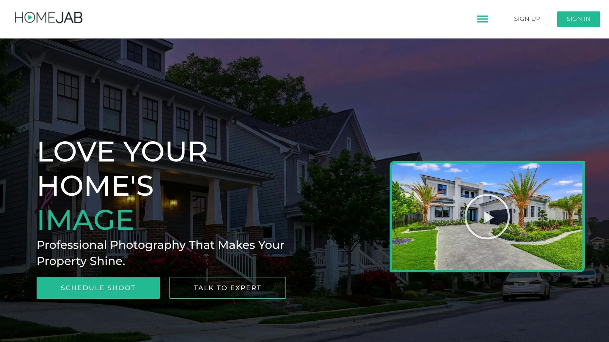
HomeJab takes privacy seriously, using specific strategies to ensure every drone operation complies with legal and ethical standards. By relying on trained photographers, tailored flight plans, and thorough content reviews, the platform addresses the challenges of privacy in aerial videography.
Expert Photographers Trained in Privacy Laws
HomeJab ensures its photographers are well-versed in FAA regulations, state privacy laws, and local rules. They understand when written consent is necessary and which areas to avoid during filming.
Before taking on drone assignments, photographers must prove their knowledge of privacy compliance. HomeJab also provides ongoing training to keep them updated on legal requirements. This expertise plays a key role in crafting flight plans that respect privacy while achieving the desired results.
Tailored Flight Plans for Every Property
Instead of relying on standard flight patterns, HomeJab photographers create custom flight plans for each property. This personalized approach not only highlights the property’s best features but also respects privacy boundaries.
The process starts with a detailed assessment of the property and its surroundings. Each plan outlines specific guidelines, such as altitude limits, camera angles, and no-fly zones, to reduce privacy concerns. This careful planning ensures that the final footage meets both aesthetic and compliance standards.
Rigorous Content Review Process
Before any aerial footage is delivered to clients, HomeJab conducts a thorough review to ensure privacy standards are upheld. The team carefully examines the content to identify any unintended captures of neighboring properties or individuals without consent. If any issues are found, the footage is either edited or reshot to meet privacy requirements. This step guarantees both privacy compliance and high-quality visuals for clients.
Conclusion: Using Drones Responsibly in Real Estate
Real estate professionals face the challenge of balancing the marketing power of drone videography with the need to respect privacy and follow legal guidelines. While aerial footage offers a dynamic way to showcase properties, it must be used responsibly to avoid privacy violations and build trust with clients and communities.
As previously mentioned, navigating privacy regulations and liability concerns is no small task. Compliance isn’t just a legal requirement – it’s a way to foster goodwill and confidence among potential buyers and neighbors, all while enhancing the appeal of property listings.
To ensure responsible drone use, real estate professionals should take several key steps:
- Work with FAA-certified pilots to ensure safe and legal operations.
- Follow all local laws and regulations, including obtaining necessary permissions.
- Disclose filming activities and avoid flying over private property or individuals without explicit consent.
- Edit footage to remove any unintended captures, such as people or identifiable details like license plates, before sharing it online.
Given these complexities, many professionals find that partnering with expert services is the most efficient approach. Companies like HomeJab set a high standard by employing certified pilots, planning customized flight paths, and rigorously reviewing footage to ensure both compliance and high-quality results.
Drone videography is undeniably shaping the future of real estate marketing, but its success hinges on doing it the right way. Whether outsourcing to professionals or managing drone operations internally, the guiding principles remain the same: respect privacy, follow the law, and maintain ethical practices. By prioritizing these values, real estate professionals not only protect themselves but also build stronger, more trusting relationships with the communities they serve.
FAQs
What should drone operators know about the differences between federal and state privacy laws?
Federal privacy laws in the United States lay out broad guidelines for protecting personal data but don’t specifically address the complexities of drone videography. These laws are designed to prevent unauthorized data collection in a general sense. However, state laws often go further, setting stricter rules that directly govern the use of drones. These rules can include limits on flying over private property or capturing footage without proper consent.
For instance, many states enforce laws against activities like video voyeurism or unauthorized surveillance of individuals. In some cases, states may even require drone operators to obtain explicit permission from property owners or individuals before filming. This means drone users need to familiarize themselves with the specific privacy rules in the states where they plan to operate to stay compliant and avoid legal trouble.
Navigating both federal and state laws is crucial for ensuring responsible and lawful drone use.
What steps can real estate professionals take to respect privacy when using drones for property videography?
When using drones for property videography, respecting privacy is crucial. Real estate professionals should adhere to FAA regulations, which include keeping the drone within the operator’s line of sight and avoiding flights over private property unless permission is granted. It’s also important to avoid capturing images of people or private spaces without their consent, while staying up-to-date on local and state privacy laws.
Getting explicit permission from property owners before filming and being transparent about the purpose of the drone footage can help avoid potential conflicts. These steps not only ensure compliance with privacy laws but also foster trust with clients and nearby residents.
What tools can drone operators use to ensure privacy compliance while filming?
Drone operators have access to a range of tech tools that can help them stay compliant with privacy laws during aerial filming. For instance, features like geofencing can prevent drones from flying into restricted zones, while real-time monitoring ensures operators always know their drone’s location and surroundings.
On top of that, many platforms provide data encryption and access controls to safeguard footage and block unauthorized access. Leveraging these tools not only helps operators align with U.S. privacy regulations but also reduces the chances of legal complications, all while enabling them to capture stunning aerial shots.